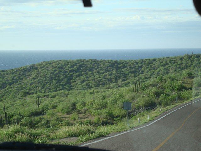
One of the world's great road trips, the Transpeninsular Highway (Hwy-1)
Dating back to 1973, the Transpeninsular Highway runs from Tijuana, Baja California to Guerrero Negro, Baja California Sur, along the Pacific Ocean and crosses into the Gulf of California to Santa Rosalia and from there continues along the Gulf to Los Cabos, BCS.


