Popocatepetl Volcano to Continue with Ash-tounding Eruptions
Learn about the ongoing ash emissions from Mexico's Popocatepetl volcano. Expert insights, historical context, and safety measures are discussed, emphasizing coexistence with volcanic activity. Stay informed and stay safe.

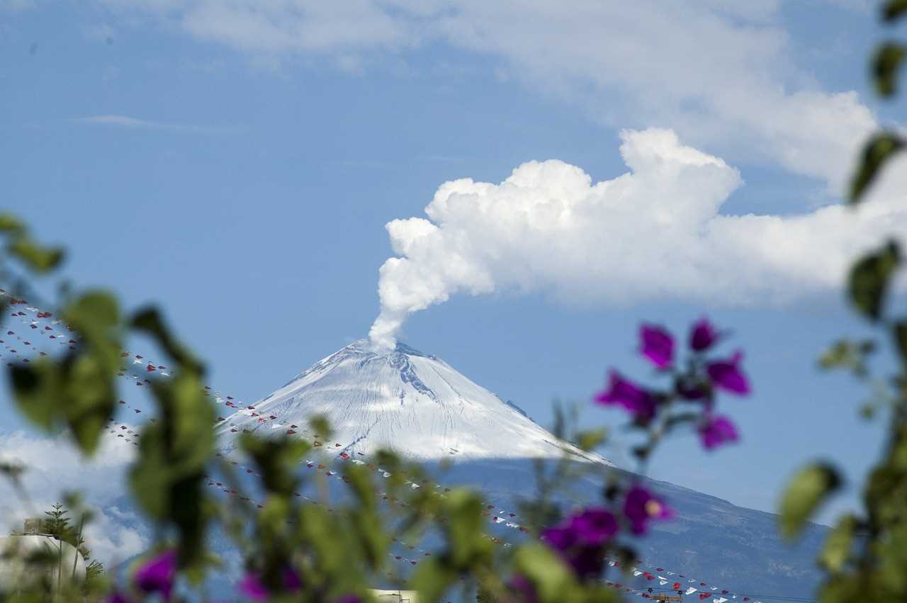
Popocatepetl, a stratovolcano located near Mexico City, has been exhibiting intense ash emissions in recent months. As a result, the Scientific Advisory Committee of the Volcano emphasizes the importance of maintaining precautionary measures and learning to coexist with the volcano, known locally as "Don Goyo." This article provides in-depth analysis and expert insights on the ongoing volcanic activity, the nature of the eruptions, the historical context, and recommended safety measures for the affected population.
The Current Activity and Magma Characteristics:
The recent ash, gas, and magma expulsions from Popocatepetl have led to an upgrade in the alert level from Yellow Phase 2 to Yellow Phase 3 by the National Center for Disaster Prevention (CENAPRED). Robin Campion, a researcher from the Department of Volcanology at the Institute of Geophysics (IGEF) of the UNAM, explains that while the activity continues to increase, it has not yet reached the levels observed between 2012 and 2013.


