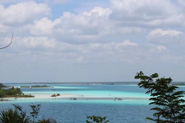
Bacalar lagoon is losing its seven colors and this is why
The Bacalar lagoon became popular after the arrival of sargassum to the Mexican Caribbean coasts, as tourists could not go into those waters, they found this place to vacation, thus becoming the "eco-chic" place.