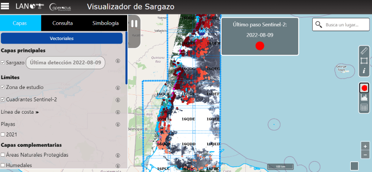
Monitoring of sargassum in the sea and coasts of Quintana Roo
The objective is to detect and measure the size of sargassum stains, as well as to help prevent their arrival on the Quintana Roo reefs and beaches. The images captured are freely available and come from the Sentinel-2 satellite of the European Space Agency.