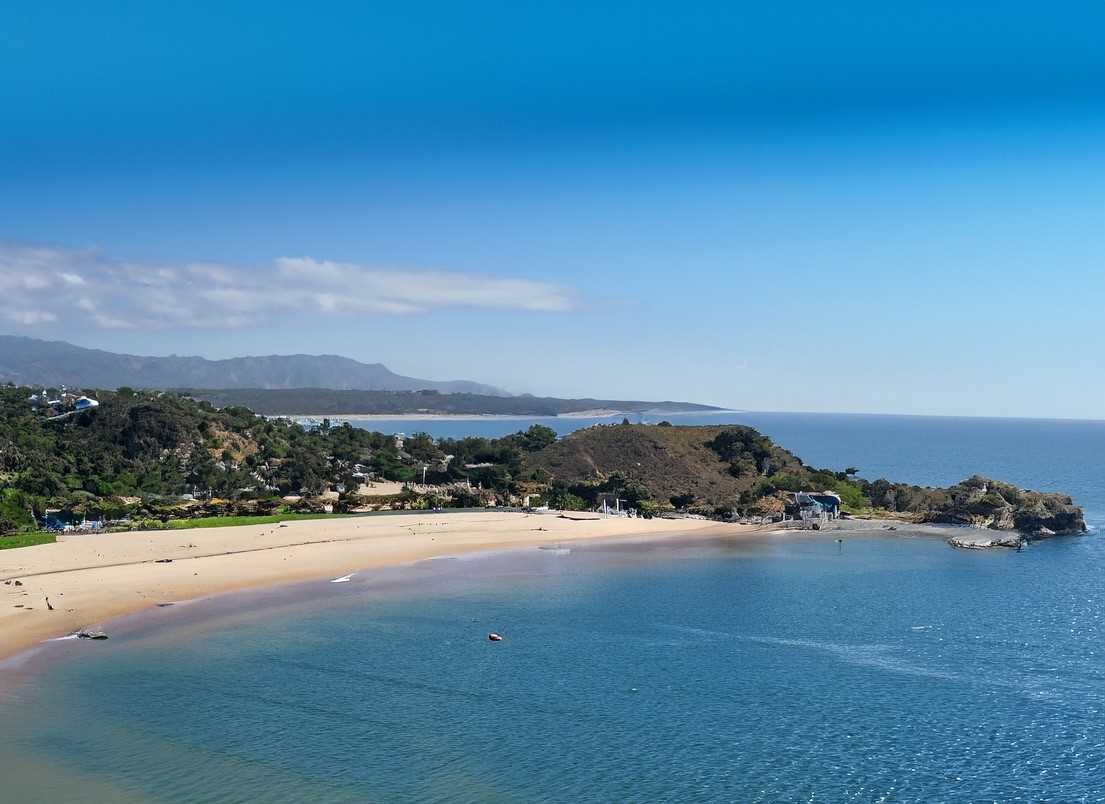
Exploring the Hydrology of Bahía de Los Ángeles Region
Explore the fascinating hydrology of Bahía de Los Ángeles & La Asamblea San Francisquito Coastal Corridor. Diverse ecosystems, unique flora & fauna, and challenges of water catchment await in this Baja gem. Preserve this natural treasure for a sustainable future.

Nestled within Hydrological Region No. 5 (RH5) – East Central Baja California (Santa Rosalía), Bahía de Los Ángeles holds a significant place in the diverse hydrological landscape of the region. Covering an extensive surface area of 12,700.55 square kilometers, this hydrological region encompasses Basin “C” and part of Basin “B,” collectively spanning 7,815.79 square kilometers. The region's unique features and ecological diversity make it a site of great interest for researchers and conservationists.
One of the key attractions within this hydrological region is the La Asamblea San Francisquito Coastal Corridor (CCLASF), which extends from Punta La Asamblea to Punta San Francisquito. This coastal corridor spans an impressive 44,303.81 hectares, with 1,069.89 hectares dedicated to insular territory, 1,690.23 hectares belonging to the Federal Maritime Terrestrial Zone (ZOFEMAT) on the peninsular coast, and a vast 41,543.69 hectares comprising the marine surface. It's an ecosystem teeming with life and natural wonders.


