The Lacandon Jungle: a challenge for its conservation
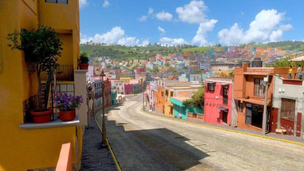
This is the daily life of the communities living in harmony with the exuberant landscapes inhabited by all kinds of animal and plant species in the Lacandon Jungle.

The murals of Bonampak, in Ocosingo, Chiapas, and their impressive colors are a cultural treasure that Mexico proudly exhibits to the world because, in addition, they are part of the great natural treasure of the Lacandon Jungle, one of the most valuable reserves of biological diversity on the planet. Here 30% of the country's water is produced and, although it covers only a small portion of the national territory, it is inhabited by 50% of the mammals and 50% of the butterfly species that can be found in Mexico.
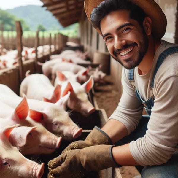
Three ethnic groups -tzeltal, chol and lacandona- coexist in this area, each with their own language, traditions and culture, but united by their appreciation and attachment to nature and united in the effort to preserve it for their children and future generations. The activities that provide income to many families are developed in harmony with the jungle landscapes. For example, by promoting shade coffee production, honey harvesting and sustainable tourism.
Lacandona, the great Mayan jungle
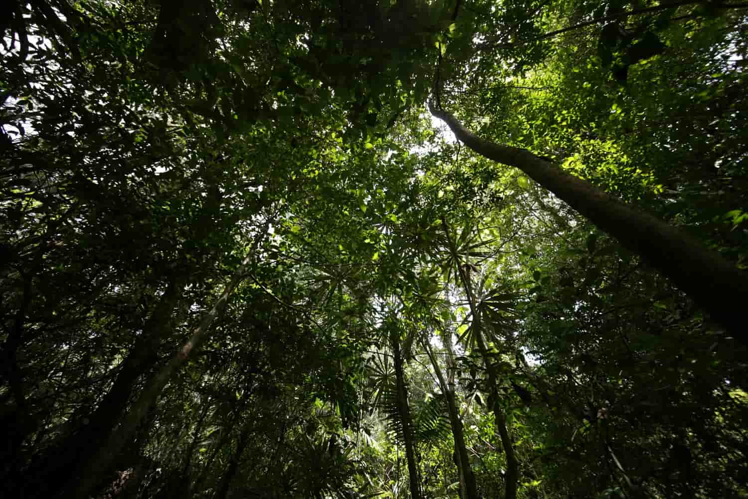
An amazing genetic reservoir that oxygenates the planet, the Lacandon jungle is a jewel of megadiversity: 625 species of butterflies; 114 of mammals, 345 of birds and 84 of reptiles, in addition to 3,400 species of plants, of which 160 can be found in a single hectare and together represent 15% of the plants that exist in Mexico, among which the Lacandonia schismatica flower, unique among 250,000 described plants, stands out for its rarity.
The above, together with the ecosystem services, shows the exuberance of the Selva Lacandona, which covers an area of 1.8 million hectares located in the eastern part of the state of Chiapas, in the municipalities of Las Margaritas, Altamirano, Altamirano, Ocosingo, and Ocosingo. Altamirano, Ocosingo, Palenque, Maravilla Tenejapa, Marqués de Comillas-Zamora Pico de Oro and Benito Juárez.
Among the 15 types of vegetation that develop there, the high evergreen forest predominates, but there is also mesophilic mountain forest and forest with dense vegetation, among others that still offer excellent functional integrity and favor the role of biological corridor between the Mayan reserve of Guatemala and the Yucatan Peninsula.
Ranked today among the 25 critical biological zones of the planet after 230 thousand years of existence, the Selva Lacandona is home to the largest number of bat species in the world, as well as rare, endemic, threatened or endangered fauna such as the tapir, river otter, jaguar, scarlet macaw, spider monkey, howler monkey, harpy eagle, river crocodile and white turtle.
Usumacinta Basin, impressive hydrological network
This jungle receives between 2,000 and 5,000 mm of rainfall annually and displays different altitudinal gradients and varied types of vegetation such as pine and oak forests and, because of its geographical location, it is the gateway for numerous groups of flora and fauna from Central and South America that further enrich the biological diversity.
The eternal greenery of the Selva Lacandona is a consequence of the large evergreen trees over 65 meters high in this portion of the national territory with a warm humid climate and constant temperatures of 22 oC average, and rainfall during nine to 12 months a year, water that favors its exuberance and that, through the soil, forms streams that when they converge integrate the largest current in Mexico: the Usumacinta River that originates in Guatemala.
The impressive hydrological network of the Usumacinta is located in one of the regions with the highest levels of precipitation in Mesoamerica, characterized by its complex relief and the formation, in Chiapas, of lakes and lagoons such as Najá, Metzabok, Montebello, Lacanjá and Miramar, as well as the important wetland of Catazajá.
This basin, the largest and most hydrologically developed, covers a total area of seven million hectares, 42% of which is located in Mexico (the rest in Guatemala), and constitutes a continuous territory with the regions of Calakmul and Sian Ka'an, through the forest areas where the states of Campeche, Tabasco and Quintana Roo converge (PUT Point), and with the jungles of the Petén that interconnect both areas of Mexico.
The Lacandona, a name derived from the Mayan group from the Yucatan Peninsula that settled on the shores of Miramar Lake to establish their ceremonial center Lacan-Tun (Rock, in Mayan language), is located in the Usumacinta River basin and includes the federal Natural Protected Areas: Bonampak and Yaxchilán natural monuments; Chan-Kin, Metzabok and Nahá Flora and Wildlife refuges; and the Montes Azules and Lacan-Tún biosphere reserves.
This system of NPAs integrates a conservation network with the addition of a state NPA, the Sierra de La Cojolita Communal Reserve, all of which are located in the planet's tropical region, where life reaches its highest expression and megadiversity is at its most complex.
Vast ecosystem services
Prodigal, the Selva Lacandona protects against erosion by accumulating organic matter in the soils and avoiding both the dragging of substrates and the silting of other sites; it generates water for human consumption, irrigation and electricity generation; it supplies oxygen and captures carbon dioxide, which mitigates global warming; it provides food and medicinal resources such as plants and animals, and is the habitat of an endless number of species of flora and fauna, fungi and microorganisms, among others.
In the context of climate change, the Selva Lacandona is recognized as one of the most important carbon sinks in Mesoamerica, which creates opportunities to link conservation with economic development through retribution mechanisms such as REDD+REDD, given its potential for carbon sequestration and the current storage of significant volumes of carbon per hectare.
The human footprint
Unfortunately, like all of Mexico's rainforests, the Lacandona has been impacted by human presence since the arrival of the Spaniards, and has since lost nearly 90% of its territory, despite its invaluable environmental services.
The lower part of the Usumacinta corresponds to Mexico, a region that receives the accumulated damage on the hydrological network of the transformation processes that occur upstream, since most of the population is settled in the upper part of the basin in conditions of enormous dispersion, about 7,000 localities, 60% of which have an average of 1,000 inhabitants.
This fragmentation hinders the development of basic educational, infrastructure and health services, which contributes to the marginalization of the Tojolabal, Tzeltal, Chol and Mayan-Lacandon indigenous population.
In recent decades, the basin has been populated to guarantee national sovereignty through directed colonization, but also by migration from Guatemala as a result of internal conflicts in that nation, and from the area of Los Altos de Chiapas, towards the middle basin, where the great Mayan jungle is located.
Human action has brought the Selva Lacandona to the brink of collapse. It is therefore of vital importance to reflect on the responsibility of working with the indigenous populations to rescue the lost areas of this green lung, as well as to increase efforts to achieve resilience in this crucial region for human and planetary wellbeing.
Source: SEMARNAT